
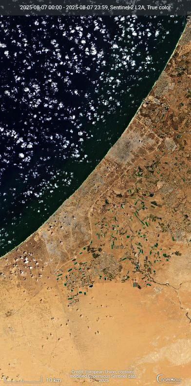
The latest aerial images of the Gaza Strip show the massive transformation in the region’s landscape due to the systematic leveling of its urban areas, with the remaining urban density now largely confined to Gaza City and the central part of the Strip.
Aerial Images Show Gaza Strip Urban Landscape Transformation
Leave a Reply