
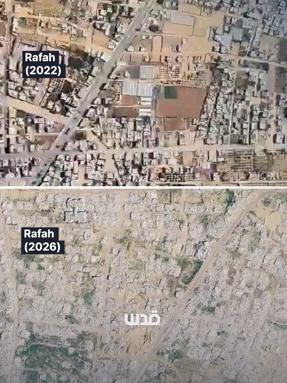
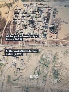
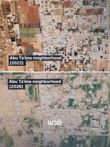
Google Maps updated satellite imagery of the Gaza Strip has left people shocked by the scale of destruction visible across the besieged territory after Israel’s genocide on Gaza. Yet even these images show only a fraction of the devastation. The updated satellite view does not
Leave a Reply